Aerial survey data processing
We can process your survey data into orthomosaic and 3D models
Processing includes

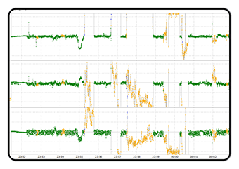
GNSS data handling

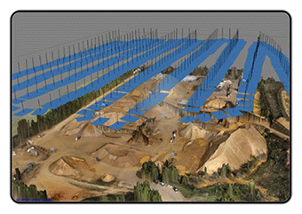
Photogrammetric scene reconstruction

Export of the results to Autocad
Our Plans
City block
0.1-0.13 €
per image
Neighborhood
0.07-0.11 €
per image
City
0.06-0.1 €
per image
We professionally use

